
The students learned about some different current events going on in Europe and the surrounding areas and they got to see a comparison of Alaska land mass and population to the land mass and population of some European countries. They also got to break into small groups and have a little race. All the groups had cards with different points on the map, they had to use a map key to locate and place the card on the correct location. The students and I had a lot of fun exploring the Giant Map. The maps are a great way for students to learn more about different aspects of a map and geographical features. I had never heard of this before and I though it was an awesome way for the students to explore other parts of the world in a hands on way.


Chip demonstrating longitude and latitude using the students.


Some of the props used for the activities and a smaller population density map of Europe.

The kids got a kick out of Chip pulling them around the map!

These students are being mountains.


I think this is when we compared the size of Alaska to Europe, everything inside the colored chains would be Alaska.
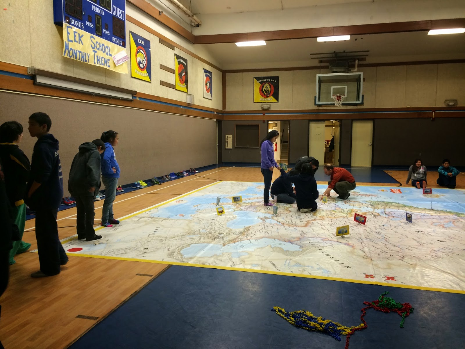

The kids doing the activity where they used a map key to find specific locations on the map.
Here are some pictures of the elementary students doing activities with the map too!


This big tube is how they get the map from place to place. As you can see from the pictures it is REALLY big.
I thought the Giant Map was super cool. The students had a lot of fun and I had fun learning too. I hope I see some more of these Giant Maps throughout my time teaching.
No comments:
Post a Comment